
Global open-access hazard mapping
HazMapper is a Google Earth Engine application and associated community focused on the open-source and open-access mapping of global natural hazards
Global Database
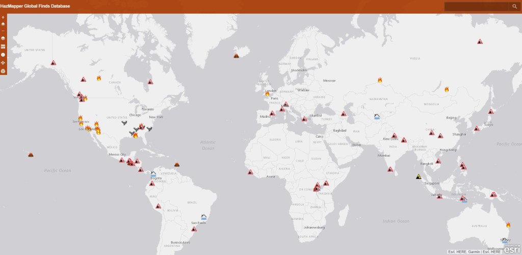
We’re archiving HazMapper links for various natural disasters. Start exploring events here and send us ones you find so we can add them!
About
HazMapper is a collaborative project intended to increase accessibility to data processing for natural hazard identification and characterization. HazMapper leverages Google Earth Engine to democratize geospatial data processing for natural hazards applications.
