The HazMapper Team consists of two geologists in the Department of Marine, Earth, and Atmospheric Sciences at North Carolina State University who are interested in leveraging new technologies to better identify and study global natural hazard events.
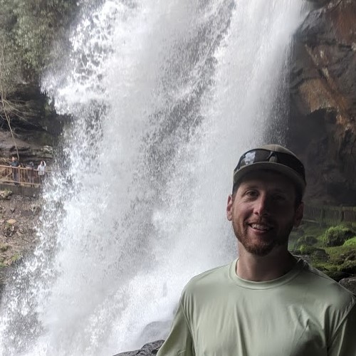
Corey Scheip
Principal Designer and Developer of HazMapper
Corey is a geomorphologist living, working, and playing in the southern Appalachian mountains. He splits his time between the Landslide Hazards group at the North Carolina Geological Survey and pursuing a PhD in Marine, Earth, and Atmospheric Sciences at NC State University. He works on problems related to the evolution of topography – including mass wasting processes, the role bedrock rivers play, intersections of geology and biology, and a few unique geological phenomenon like bedrock domes and fissure caves. When he’s not wearing out a pair of field boots, you can usually find him coding (Python, MATLAB, Javascript, Google Earth Engine) or working in a GIS.
Email Corey: cmscheip@ncsu.edu
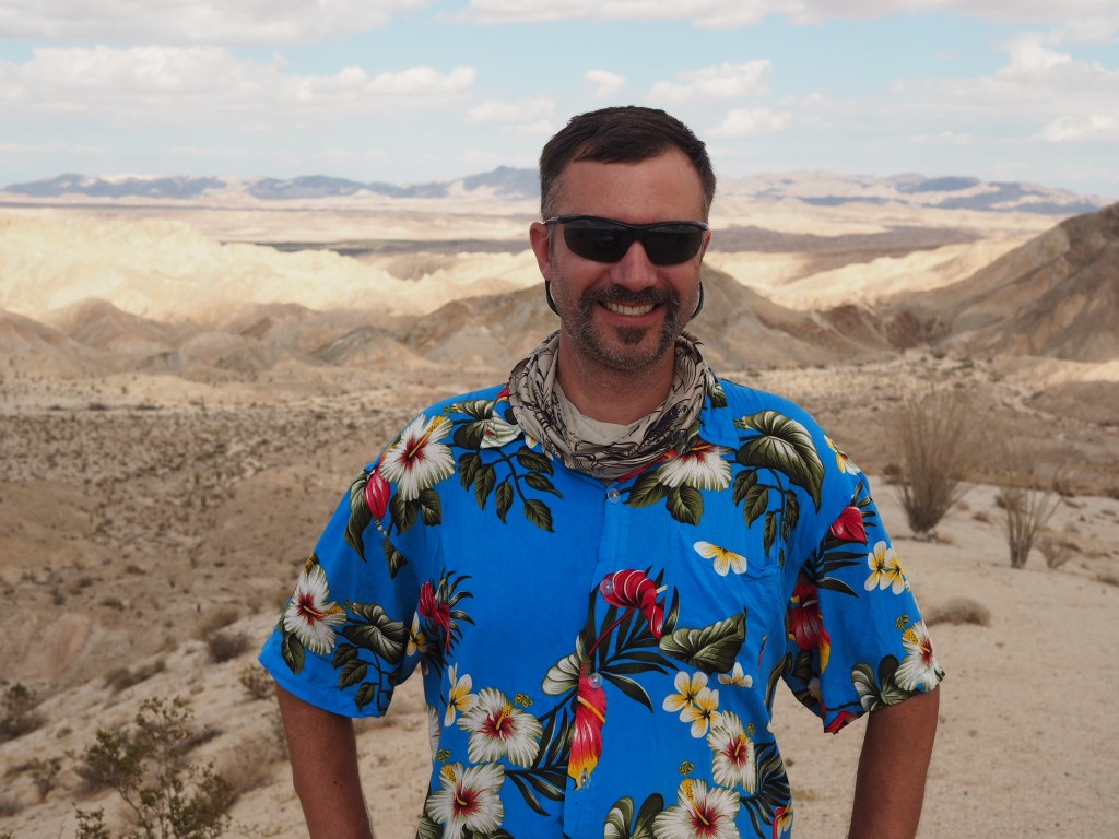
Karl Wegmann
Chief Tester of HazMapper
Karl is an Associate Professor of Geology in the Dept. of Marine, Earth, and Atmospheric Sciences and a Faculty Fellow in the Center for Geospatial Analytics at NC State University. His academic interests include research in the sub-fields of geomorphology, active tectonics, and geospatial analytics. He teaches undergraduate and graduate courses in General Geology and Natural Hazards, Earth Surface Processes (Geomorphology), and Field Geology (aka Field Camp). His research focuses on better understanding how landscapes respond to tectonic and climatic forcing, and to decipher distinct topographic, erosional, stratigraphic, and bio-genetic signatures of such.
Email Karl: kwwegman@ncsu.edu
